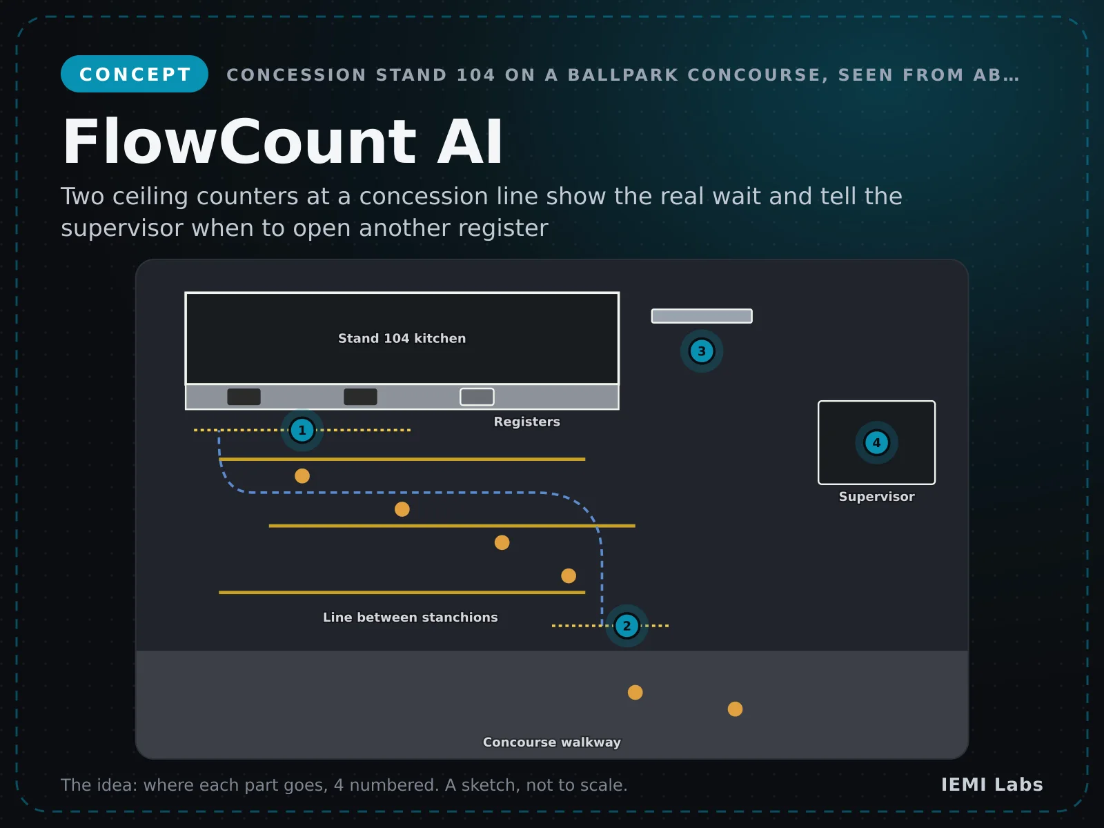
VisionConcept
FlowCount AI
A small white ceiling sensor with two lenses that counts people without sending images.
- Measures queue length in real time
- Predicts wait times per lane
- Counts entries, exits and occupancy
From $899 per sensor
DetailsThermal and visible bird-hazard detection for regional airfields
Software: $399–$699 per month per turret
Concept, not for sale yet. Tell us if you want it; that decides what we build.
Rate this idea and tell us what to change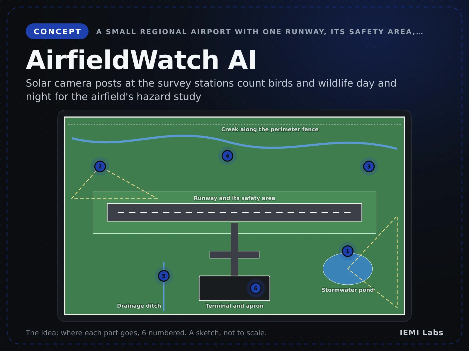
Drag to rotate · right-drag to move · scroll to zoom · click a part for its size and placeSwipe to rotate · pinch to zoom · two fingers to move · tap a part for its size
How it fits together
Scroll or tap a part. Press “See the 3D CAD design” to watch the model, built from our CAD, light each part up and show how it connects.
Real-time 3D render · drag to rotate · final design may varySwipe sideways to rotate
01
The whole AirfieldWatch AI
A solar mast post watches the airfield day and night. The Pi finds birds and animals and texts wildlife staff over 4G.
02Brain
Raspberry Pi 5 + AI HAT+
The brain: it runs the aw-post program
03
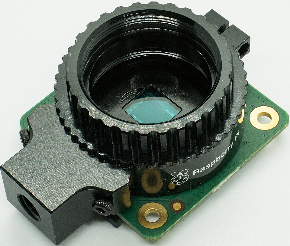
HQ daylight camera
Films the runway at 10 fps in 12 MP
Raspberry Pi 5 + AI HAT+ · CSI-2 ribbon cable · Daylight video
04
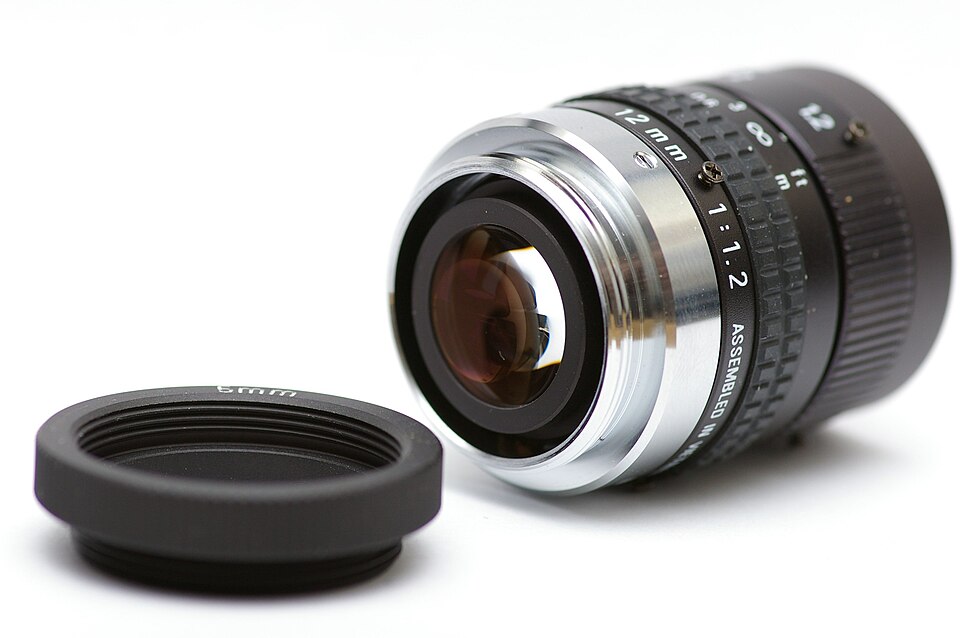
16 mm C-mount lens
Sets how far down the runway the camera sees
Raspberry Pi 5 + AI HAT+ · C-mount thread · Light onto the sensor
05
Boson thermal camera
Sees animals and people on the runway at night
Raspberry Pi 5 + AI HAT+ · USB-C (UVC video) · Thermal video
06
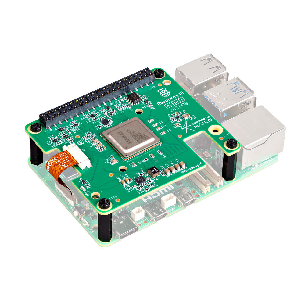
AI HAT+ (Hailo-8L)
Runs the bird and animal detector on the device
Raspberry Pi 5 + AI HAT+ · Pi 5 HAT connector · Image tiles and detections
07
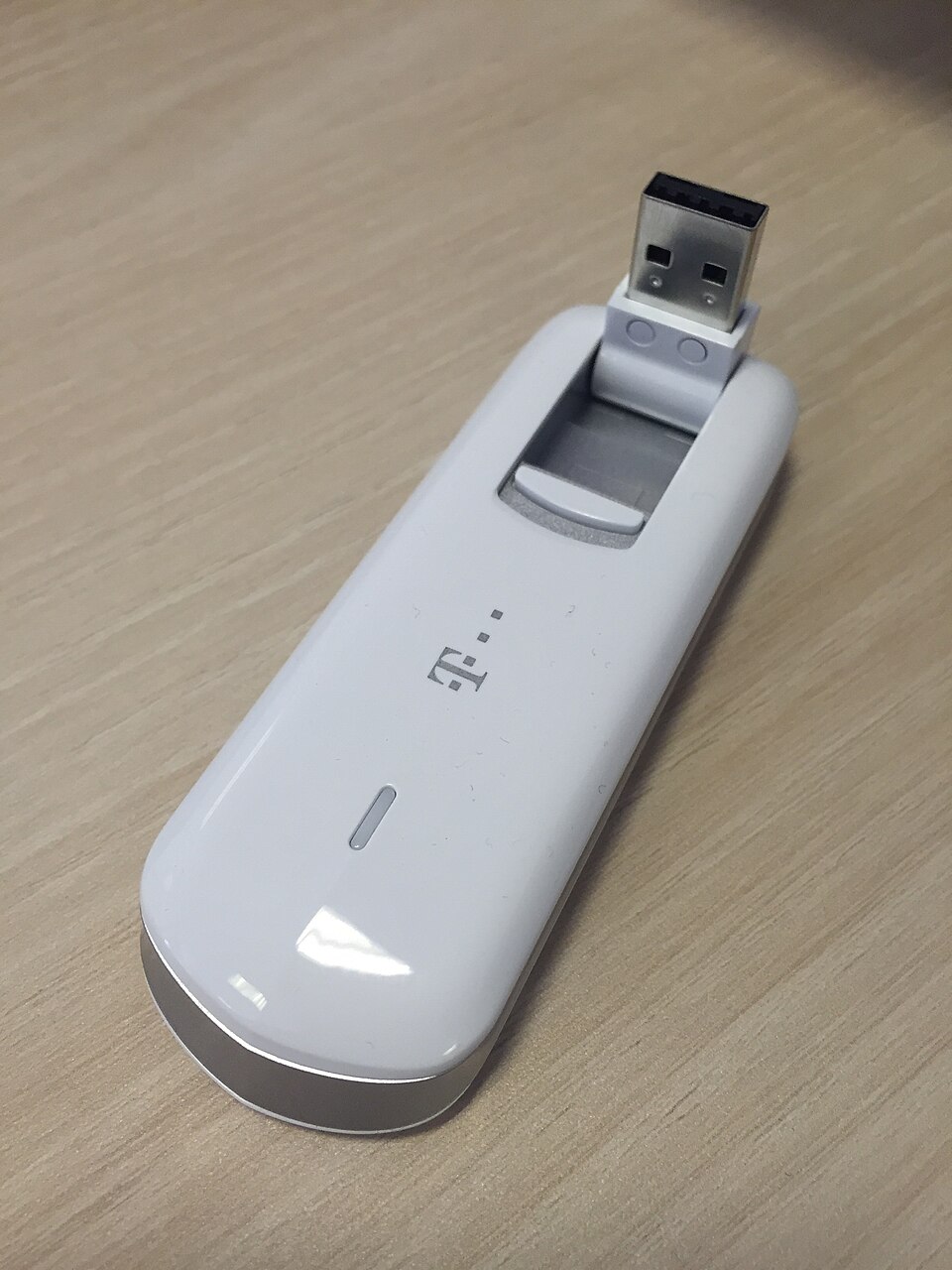
4G + GNSS dongle
Sends events and clips, and gives time and position
Raspberry Pi 5 + AI HAT+ · USB · 4G data and GNSS time
08
Solar charge controller
Charges the battery and reports its charge level
Raspberry Pi 5 + AI HAT+ · VE.Direct to USB cable · Battery level, solar watts
09
5 V step-down
Turns the 12 V battery into 5 V for the Pi
Raspberry Pi 5 + AI HAT+ · 5 V power lead · 5 V power
10
All connected
8 key parts, one program, and your phone
What it is
A thermal and visible camera turret on a mast that spots birds and wildlife near runways.
What it does
Who it's for
Regional, general-aviation, private and military airfields.
The idea
The problem today
A wildlife hazard assessment at a small airport is a 12-month study built on monthly dawn and dusk point counts by a biologist, about 100 hours of watching a year. It costs $25k to $100k, and avian radar costs about $133k for a one-year trial, so most of the night and most of the year go unseen.
With AirfieldWatch AI
The biologist leaves 2 to 6 fixed solar posts at the survey stations they already use: the runway-end ponds, the creek fence and the drainage ditch. Each post counts birds by size class and flock, and mammals at night, writes the station tables the report needs and texts wildlife staff when a large flock or a deer is in a watched zone. It advises; people decide what to disperse.
How the parts connect
Every part, what links it to the brain, and how the data reaches your phone. A solid line is a cable; a dashed line is a radio link.
The program
while (true) {
  const mode = sunElevation() > -6 ? 'day' : 'night';
  const frame = mode === 'day' ? vis.capture() : thr.capture();
  const regions = motionMask(frame);        // frame differencing
  const dets = hailo.detect(tiles(frame, regions));  // YOLOv8s
  tracker.update(dets);
  for (const ev of tracker.finished(minSeconds = 1)) {
    ev.zone = zoneOf(ev);                   // polygons drawn per post
    ev.clip = clips.write(ev, 6);           // 6 s clip on the SSD
    mqtt.publish('aw/event', ev, { qos: 1 }); // queued if 4G is down
  }
  power.ladder(veDirect.soc());             // cut work as the battery drops
}
To your phone
Biologist's browser; staff get texts
One screen for each job AirfieldWatch AI does.
Ground flockGulls settle on the grass by the stormwater pond at survey station S4. After 12 minutes the post texts wildlife staff, who decide whether to haze.
Night mammalsAfter dark the thermal camera picks up a deer by the creek fence. The patrol gets a 6-second clip, checks it and drives the deer out.
Survey tablesEach month the biologist opens the per-station tables: dawn, day, dusk and night counts, laid out like the hazard assessment report.
App screens with sample data. The interface is in development.
| Wildlife event | 31 large birds, pond | Each event |
|---|---|---|
| Review clip | 6 s clip | On review queue |
| Advisory text | Advisory: ground flock, 12 min | Rule triggered |
| Battery level | 78% | Every 15 min |
| Coverage status | Day and thermal on | Every 15 min |
Outbound-only encrypted link, no open ports. Clips upload only when an event needs review. Alerts are advisory.
CAD design · Design complete (stages 1-6), not built
| AI processor | NVIDIA Jetson Orin Nano 8 GB (up to 67 TOPS) |
|---|---|
| Camera | Thermal core (Teledyne FLIR Boson 640 class; Lepton class on entry model) + 4K visible camera with optical zoom |
| Sensors | Pan-tilt positioner with absolute encoders · Weather sensor (wind, temperature, rain) · GNSS for time and position |
| Connectivity | Gigabit Ethernet / fibre · 4G LTE backup · Relay and RS-485 outputs for dispersal devices · REST API and webhooks |
| Power | 100–240 V AC or 24 V DC, 40–60 W with heaters (target) |
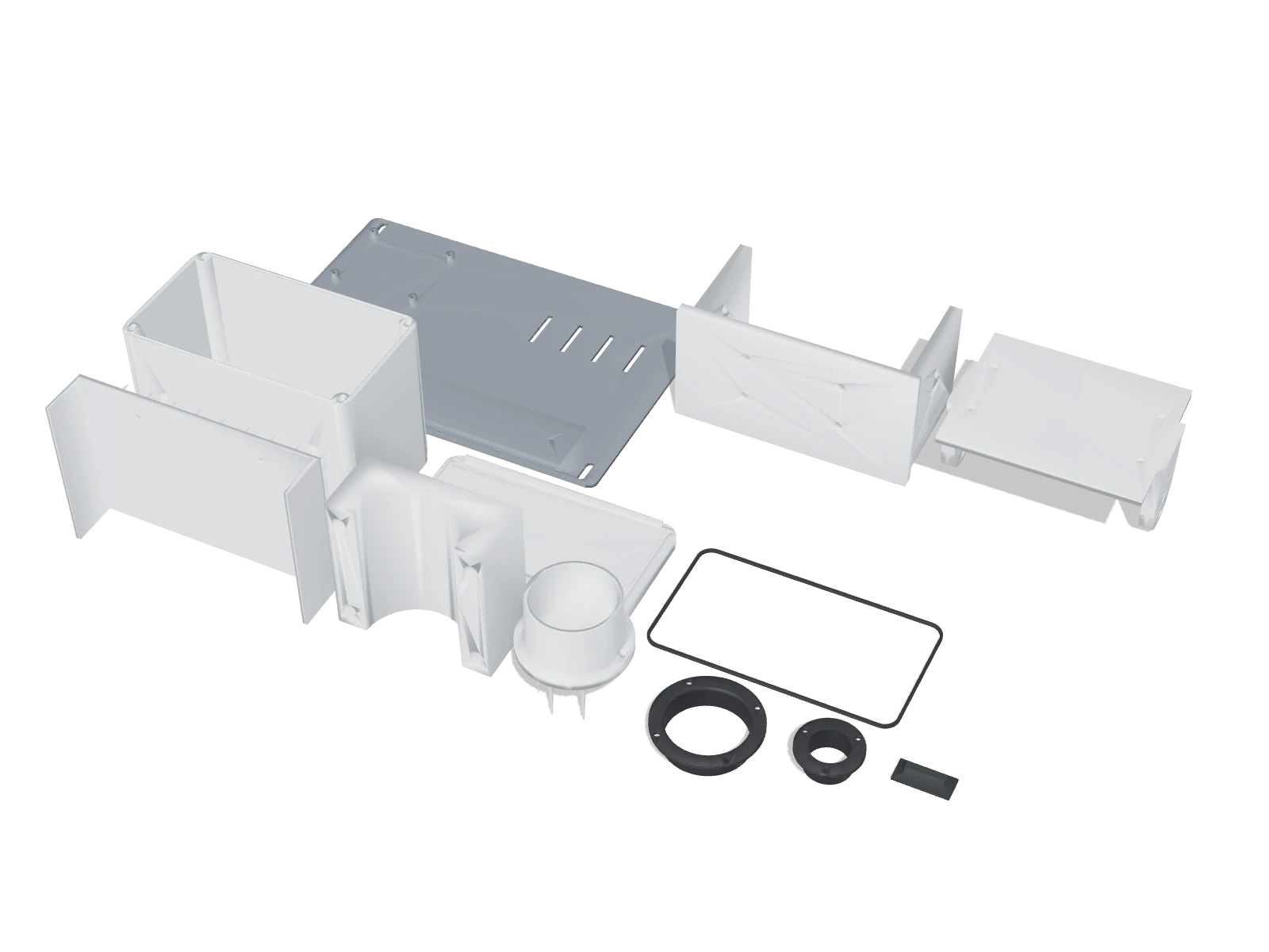
| Enclosure | Grey weatherproof pan-tilt turret with heated windows, on a 3 m frangible mast |
| Dimensions | Turret 25 × 25 × 35 cm on a 3 m mast |
| Weight | Turret ~9 kg |
| Ingress rating | IP66 |
| Large birds | Up to ~800 m (thermal, target) |
|---|---|
| Flocks | Up to ~1.5 km (target) |
| Mammals | Up to ~500 m at night (target) |
| Coverage | 360° pan, −30° to +60° tilt |
| Processor | Jetson Orin Nano 8 GB |
|---|---|
| Classes | Bird groups, flocks, mammals |
| Outputs | Alerts, clips, relays, API |
| Logging | Exportable for WHMP reporting |
| Power | AC or 24 V DC, 40–60 W |
|---|---|
| Turret | 25 × 25 × 35 cm |
| Mast | 3 m, frangible option |
| Operating temp. | −30 °C to 55 °C |
Targets for production units; they may change during development.
Hardware: $8,900–$14,900 per turret (thermal core options)
Software: $399–$699 per month per turret
Target pricing. Mast foundations, power, network and dispersal devices are quoted per airfield.
$8,900 + $399/mo
One turret with Lepton-class thermal for a runway end.
$14,900 + $699/mo
Boson-class thermal and zoom for longer range.
Custom
Multiple turrets and radar integration.
Indicative launch pricing in USD, excluding taxes and shipping. Final pricing is confirmed before any balance is charged.
Community
AirfieldWatch AI is in development. Rate the idea, tell us what to change about the features, specs or price, and we'll build it with your feedback.
How much people want it
–
No ratings yet
Follow AirfieldWatch AI
Get build updates and first access when pre-orders open.
No comments yet. Tell us what you'd want from AirfieldWatch AI.
Questions
Tell us what this would save you, or ask anything. We reply within two business days.
A member of the IEMI Labs team will reply within two business days.
From the product lab · ideation phase
No. Radar covers larger volumes and longer ranges. AirfieldWatch adds camera-based detection, species-group classification and visual evidence at key locations such as runway ends, and gives smaller airfields an affordable starting point. Radar integration is planned.
No. AirfieldWatch is not FAA-certified or approved equipment. It is designed to support your wildlife hazard management programme under Part 139 with data and logs. Siting must follow your airport's rules for objects near runways.
Yes. Detection and classification run on the turret. Only alerts, short clips and logs are sent to the console. The system is designed to detect wildlife, not to identify people.
The turret sits on a 3 m mast, with a frangible option, on a small foundation near the runway end, with mains or 24 V power and Ethernet, fibre or LTE. We provide siting guidance during the pilot.
No. It is a new concept in development. Specifications are target specifications. It is a concept: we are not taking orders, reservations or deposits, and it has no ship date yet.
We are planning a 2-year limited hardware warranty with advance replacement for subscription customers. Final terms will be published before shipping begins.
A small white ceiling sensor with two lenses that counts people without sending images.
From $899 per sensor
Details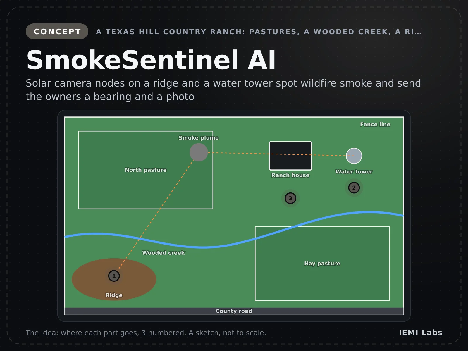
A solar-powered four-camera head on a mast that watches the horizon for wildfire smoke.
From $4,900 per node incl. solar kit
Details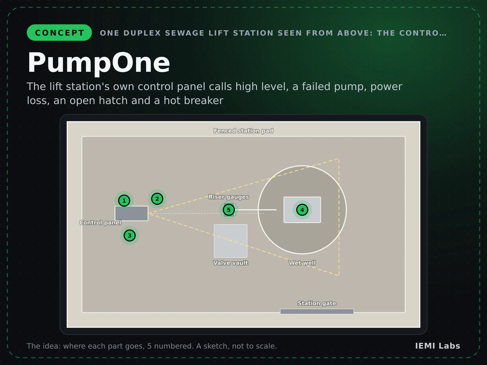
IEMI's one product for a lift station: the station's own pump control panel, made smart, with one brain and one app.
From $2,690 per station
DetailsAirfieldWatch AI
Concept · target $8,900